Local Landmarks & Heritage
- Santa Clara Valley Medical Center
- San José City College
- Fruitdale VTA Light Rail Station
- Los Gatos Creek Trail
Neighborhood History
Fruitdale takes its name from Fruitdale Avenue, which in turn reflects the fruit orchards that blanketed this part of West San José in the late nineteenth and early twentieth centuries. The neighborhood was part of the broader agricultural landscape of the Santa Clara Valley — the region known as the Valley of Heart's Delight — where prunes, apricots, and cherries grew on land that would later be converted to suburban residential use as San José expanded rapidly after World War II.
Situated at the western edge of San José near Interstate 280 and State Route 17, Fruitdale developed its present character through the mid-twentieth century, with many of the neighborhood's midcentury ranch-style homes built between the 1940s and 1960s. Santa Clara Valley Medical Center and San José City College are the two major civic institutions anchoring the neighborhood today; the City College campus has been a presence in the area since the mid-twentieth century, providing continuing education and workforce training to West San José residents for generations. The Fruitdale VTA light rail station, opened in 2005, connected the neighborhood to downtown San José and the wider regional transit network.
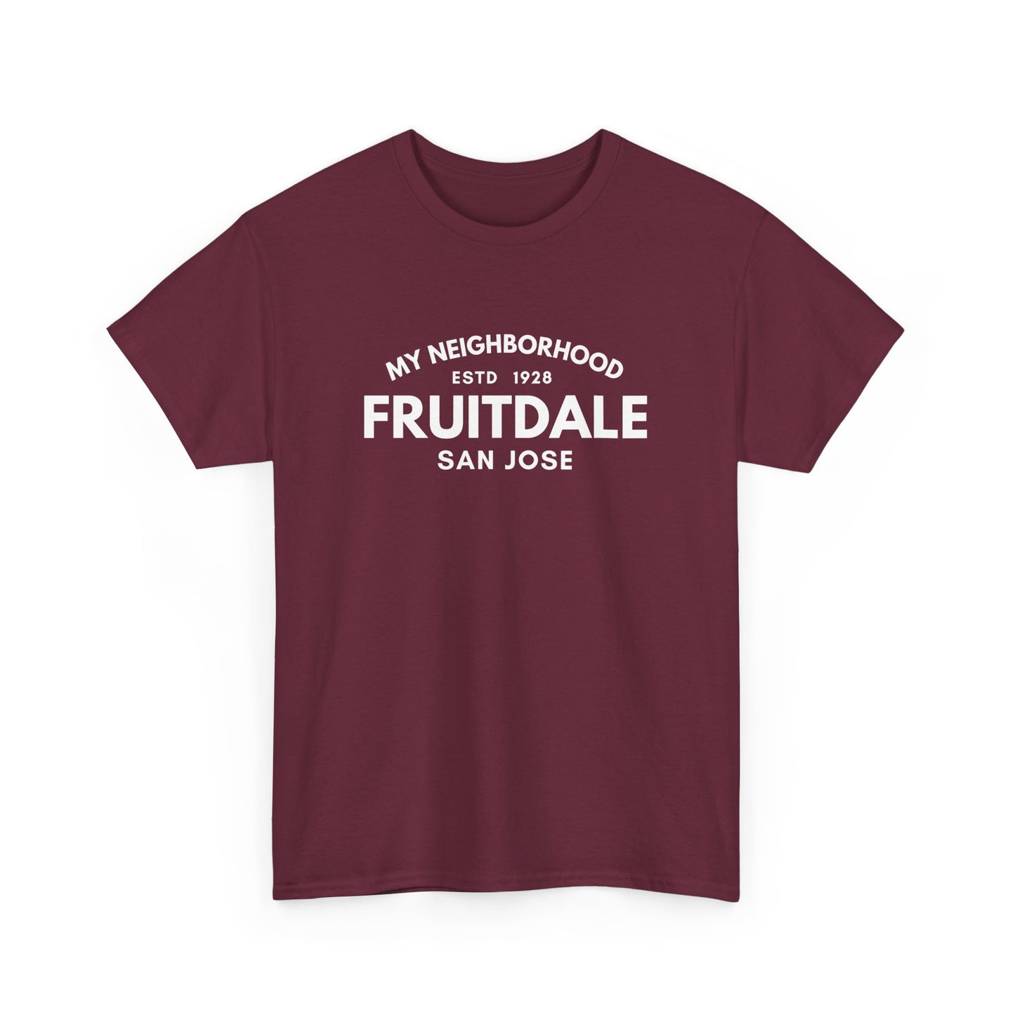
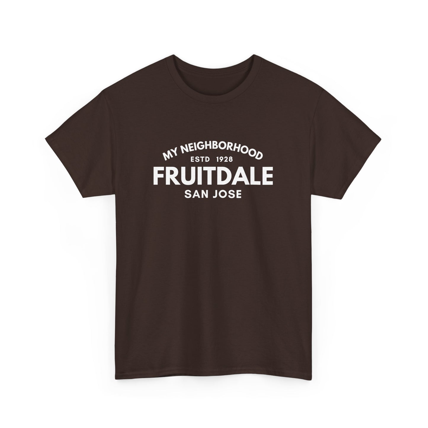
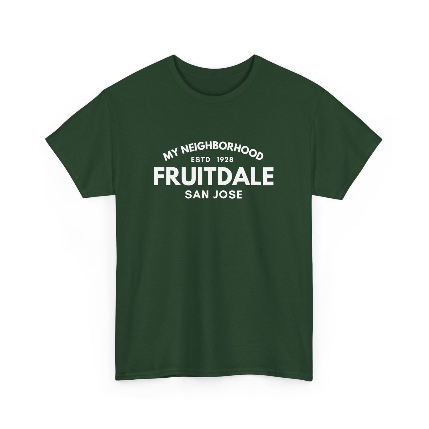
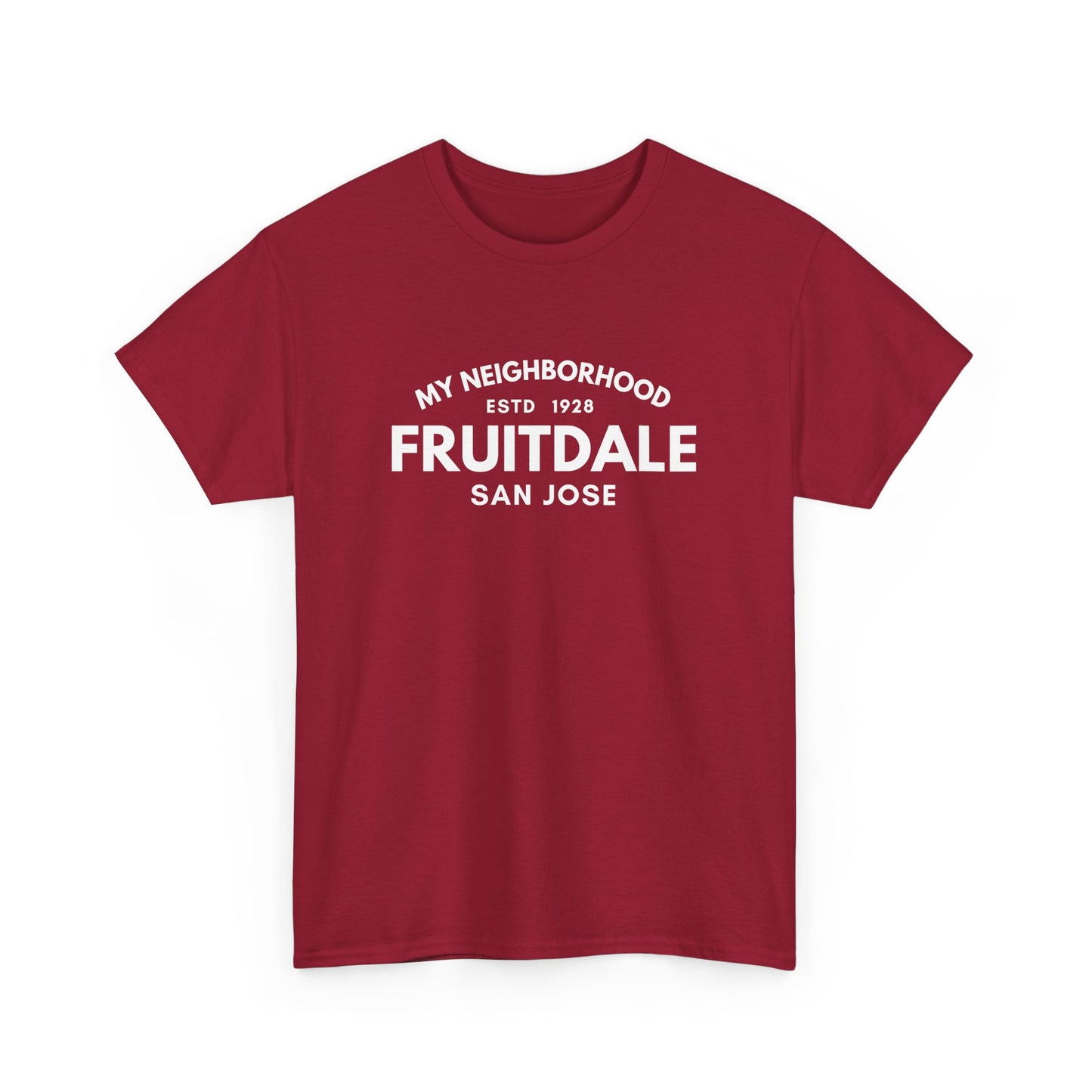
MY-NHD's Fruitdale tee is for those who know the orchard history beneath the surface of West San José's most centrally connected neighborhood.
MY-NHD
Fruitdale - San Jose - Unisex Cotton Tee
Couldn't load pickup availability
Fruitdale is named for Fruitdale Avenue, which recalls the prune, apricot and cherry orchards that once covered this part of West San José. San José City College and Santa Clara Valley Medical Center stand here, and a light rail station opened in 2005.
Share