Local Landmarks & Heritage
- Shepherd Canyon Park
- Shepherd Creek
- Shepherd Canyon Road
- Sacramento Northern Railway trail (historic)
- East Bay Regional Parks District
- Montclair District
Neighborhood History
Shepherd Canyon is a small residential neighborhood in the upper Oakland hills, its name drawn from Shepherd Creek — the natural waterway that carved the canyon corridor along which the neighborhood's streets were developed beginning circa 1925. The canyon's earlier history centered on ranching and agricultural use of the open hillside terrain, with the Sacramento Northern Railway's hillside line providing the first modern transit access that made residential subdivision viable in this remote part of the Oakland hills. The former Sacramento Northern Railway corridor has been repurposed as a multi-use trail greenway — part of the East Bay Regional Parks District trail network connecting Shepherd Canyon to the broader Montclair and upper Oakland hills trail system. Shepherd Canyon Park provides the neighborhood's primary community green space, its creek-side setting preserving the natural character of the canyon that gives the neighborhood its name. Shepherd Canyon Road connects the neighborhood to the Montclair District below and to the Skyline Boulevard ridge above. That combination of creek canyon setting, railroad heritage, and natural trail access defines the MY-NHD Shepherd Canyon collection.
MY-NHD
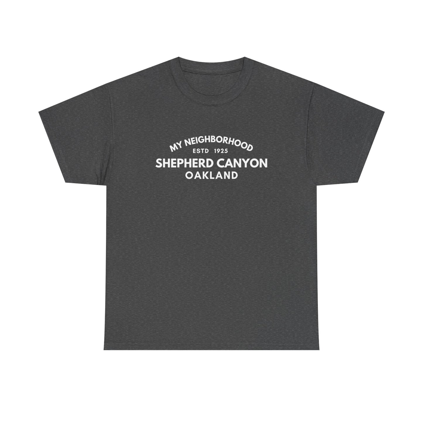
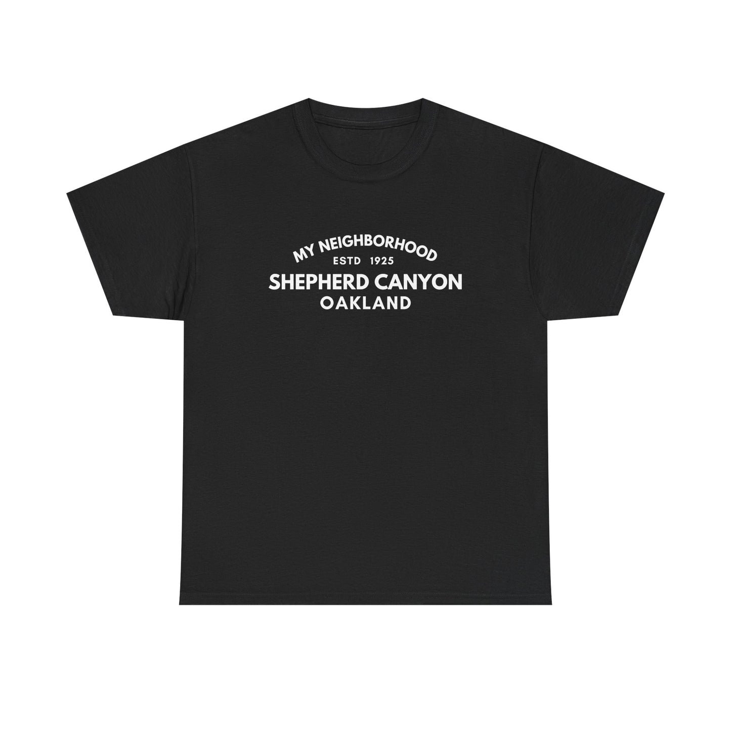
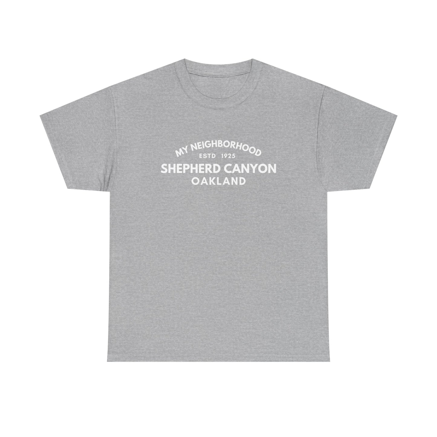
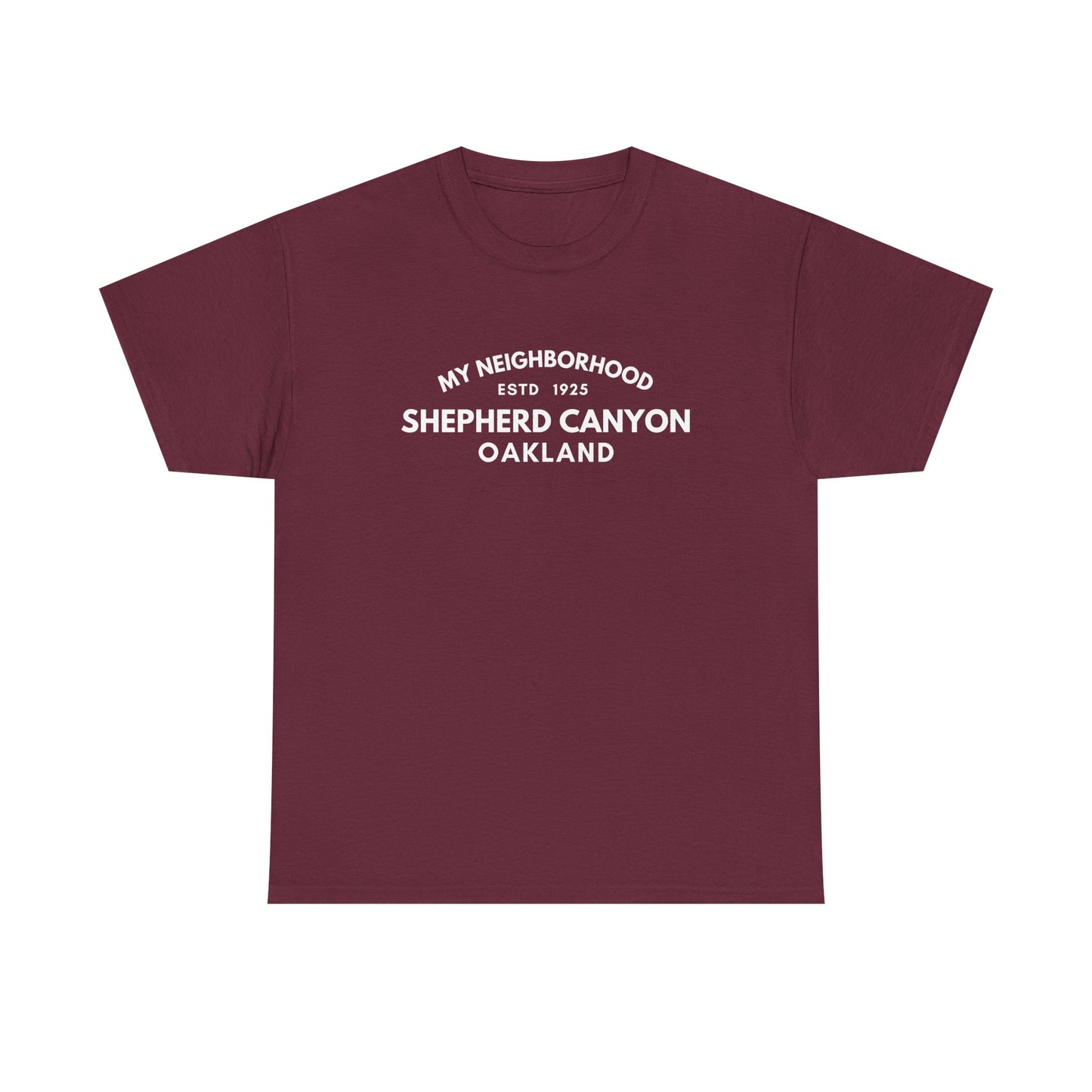
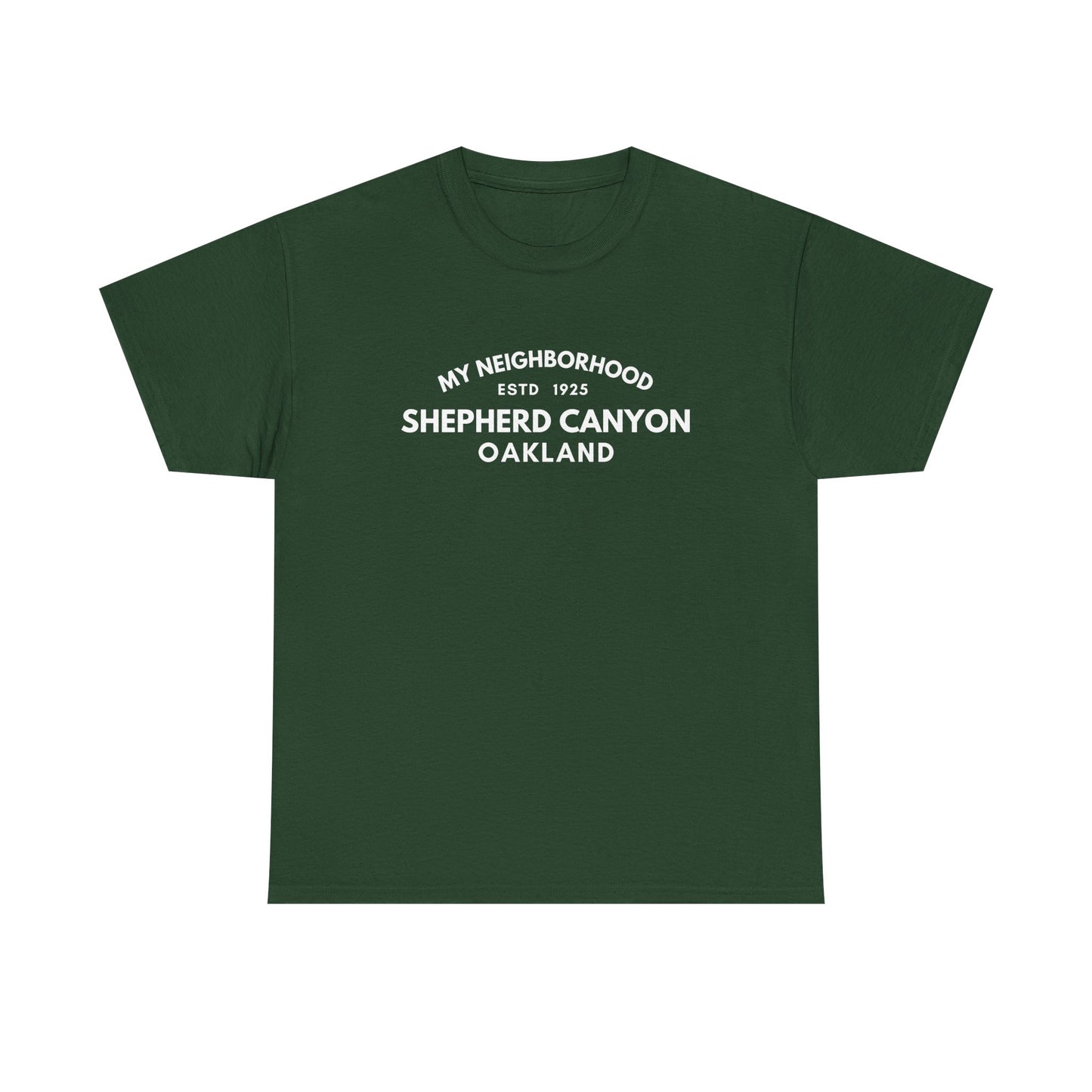
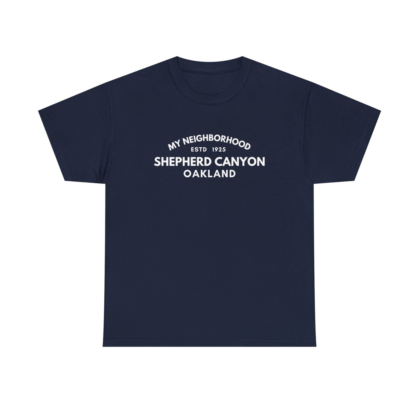
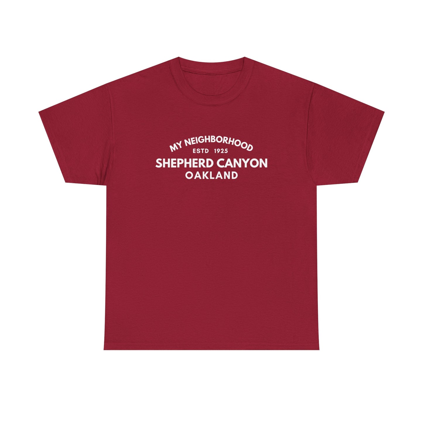
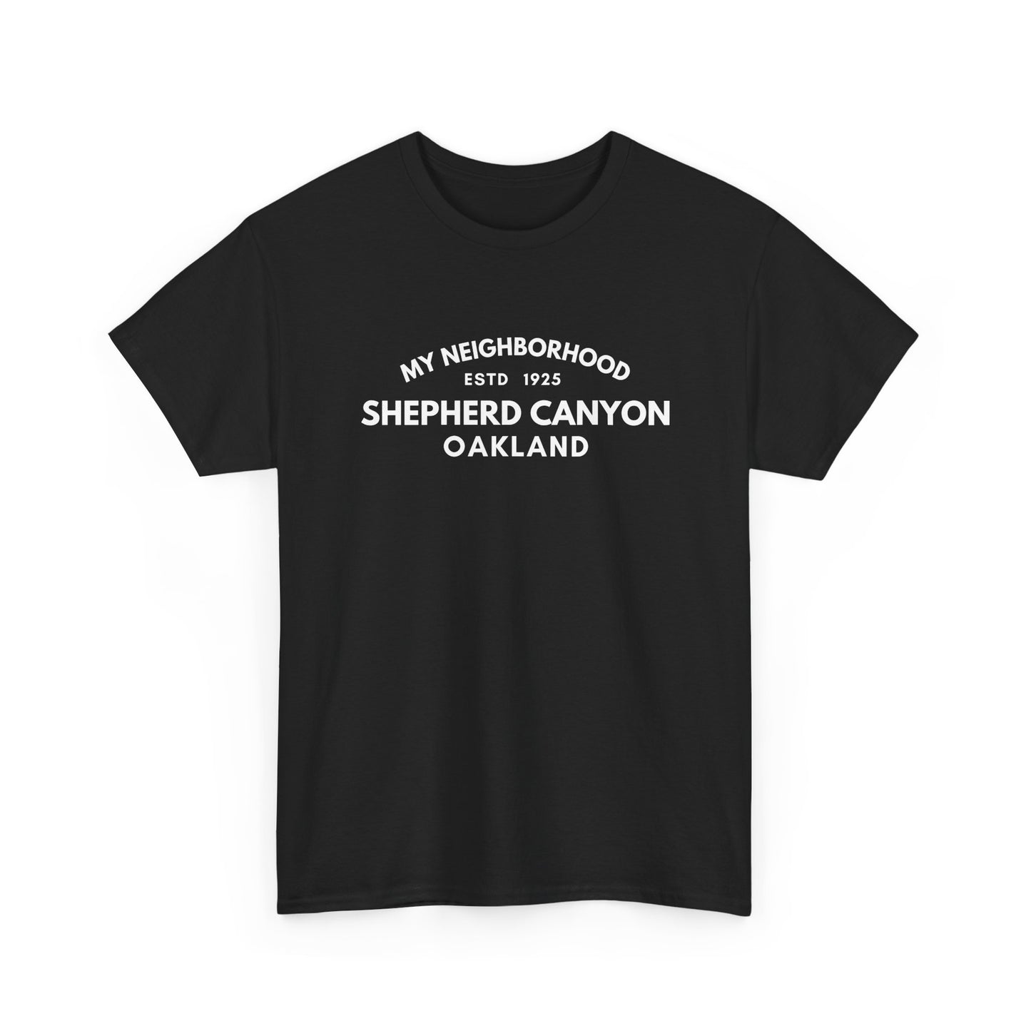
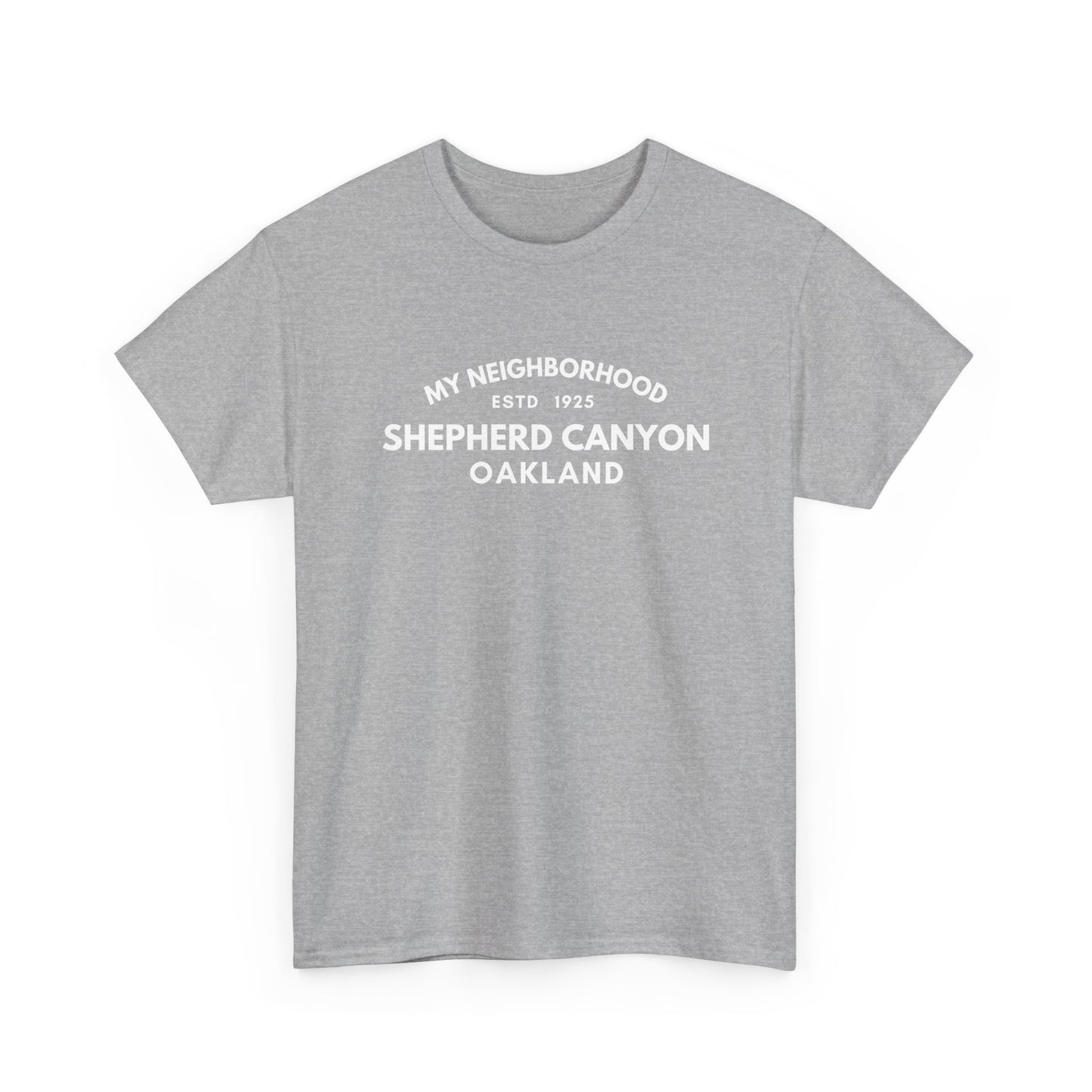
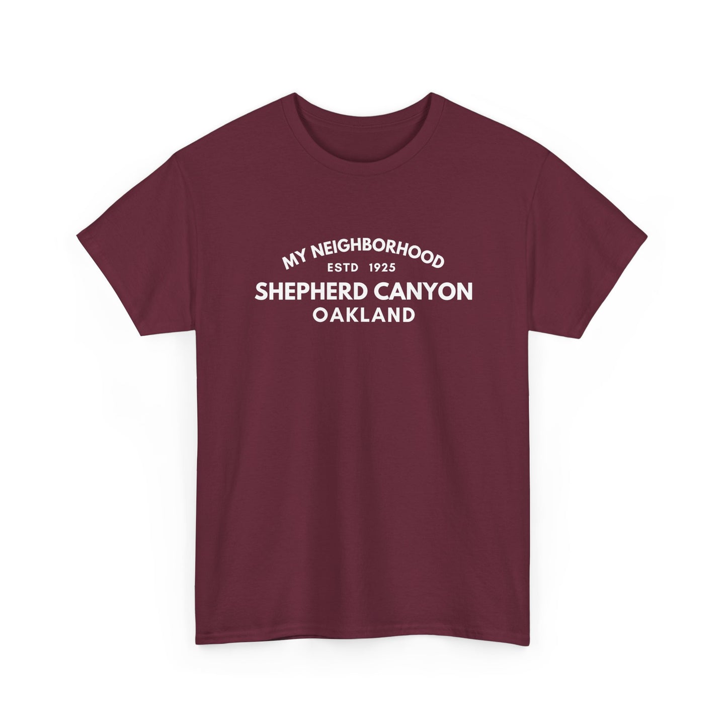
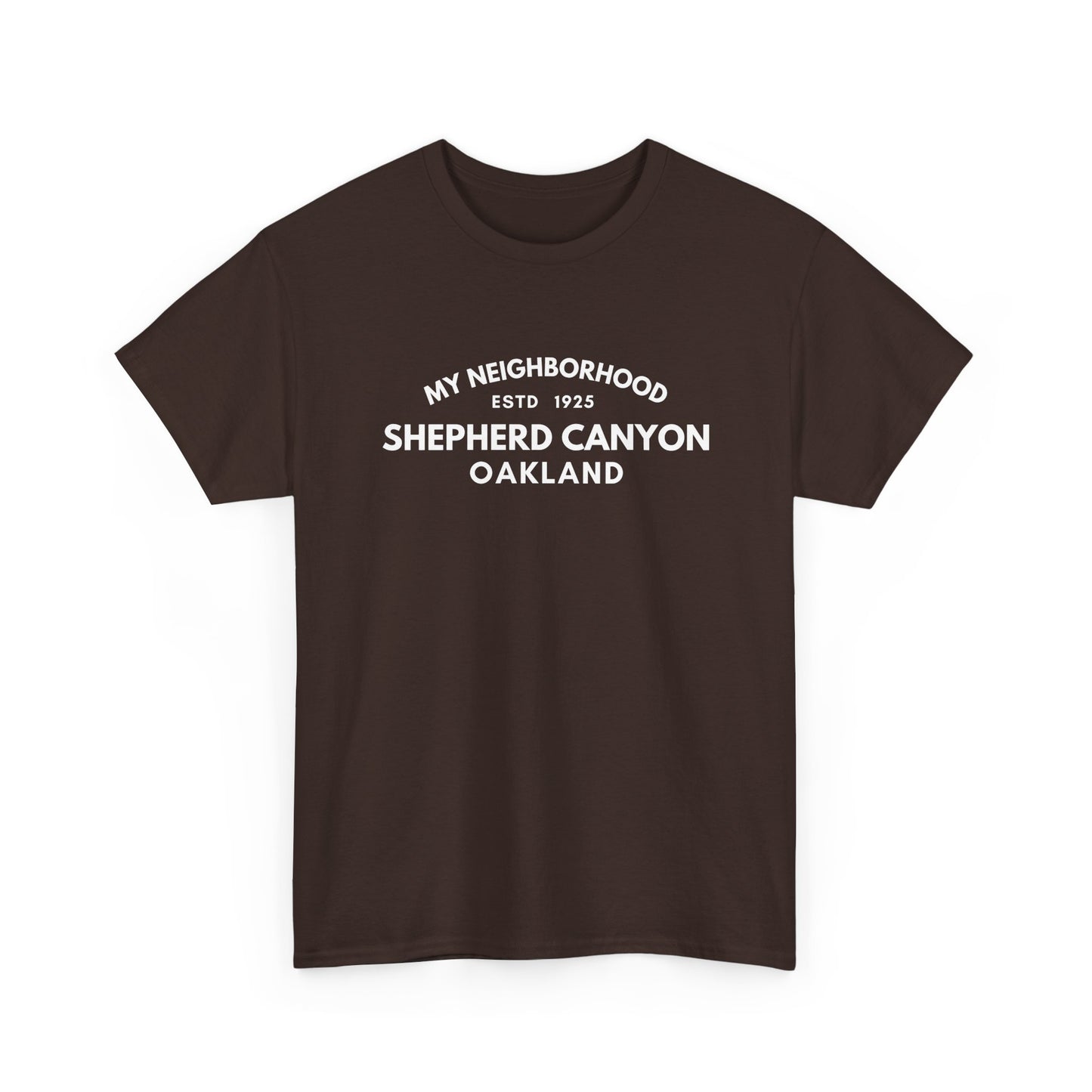
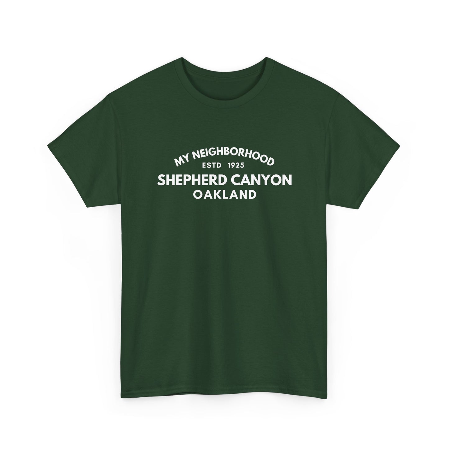
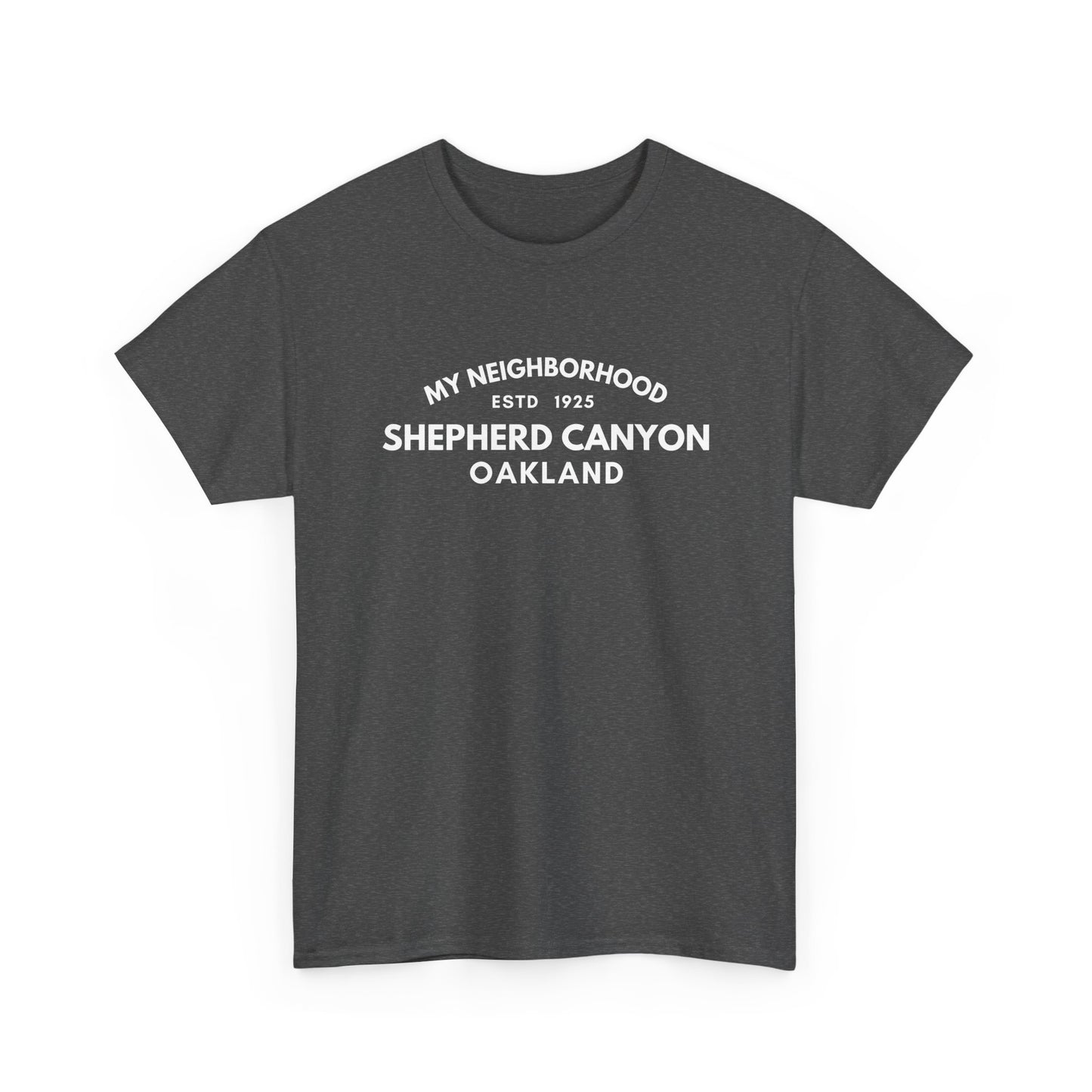
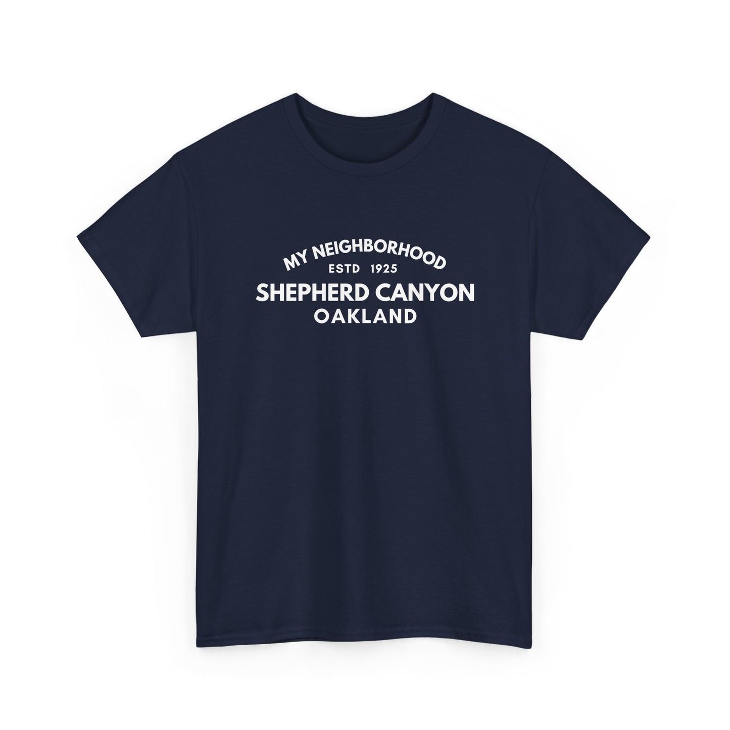
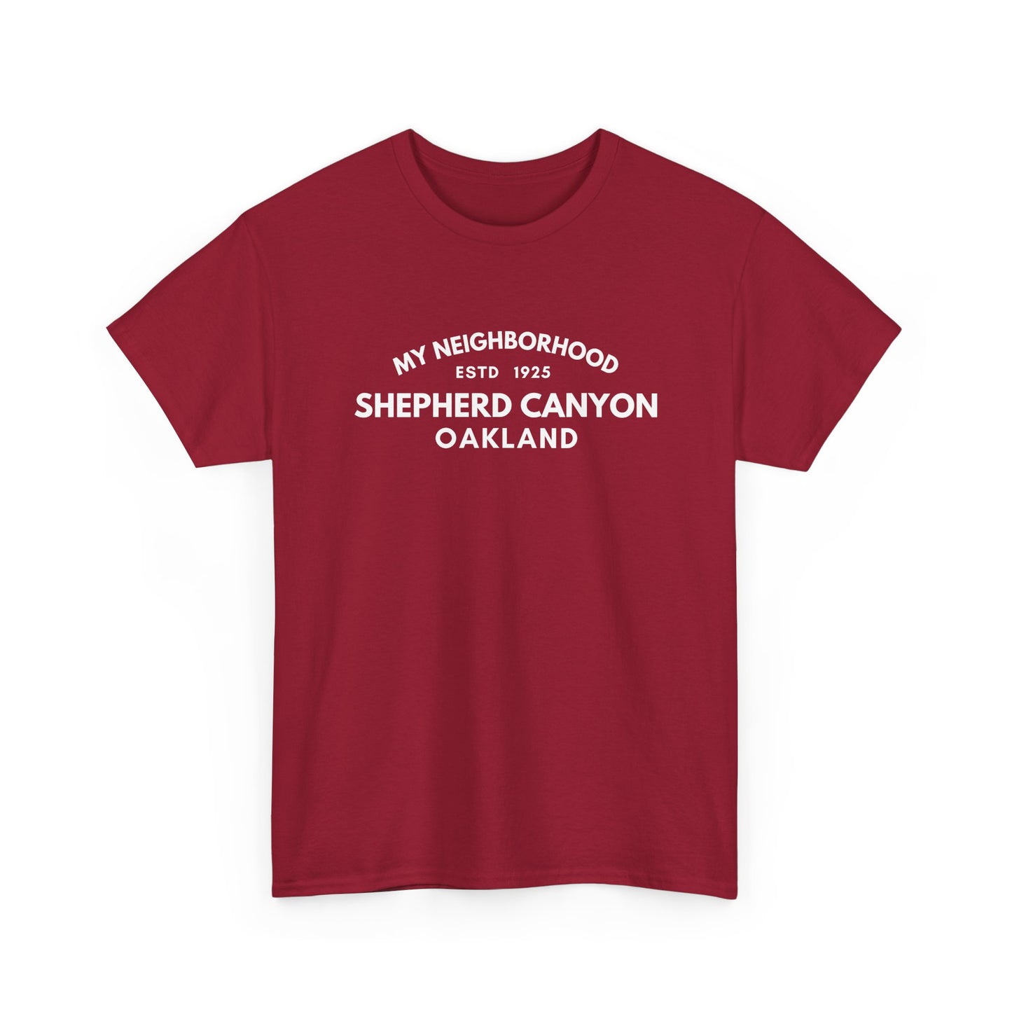
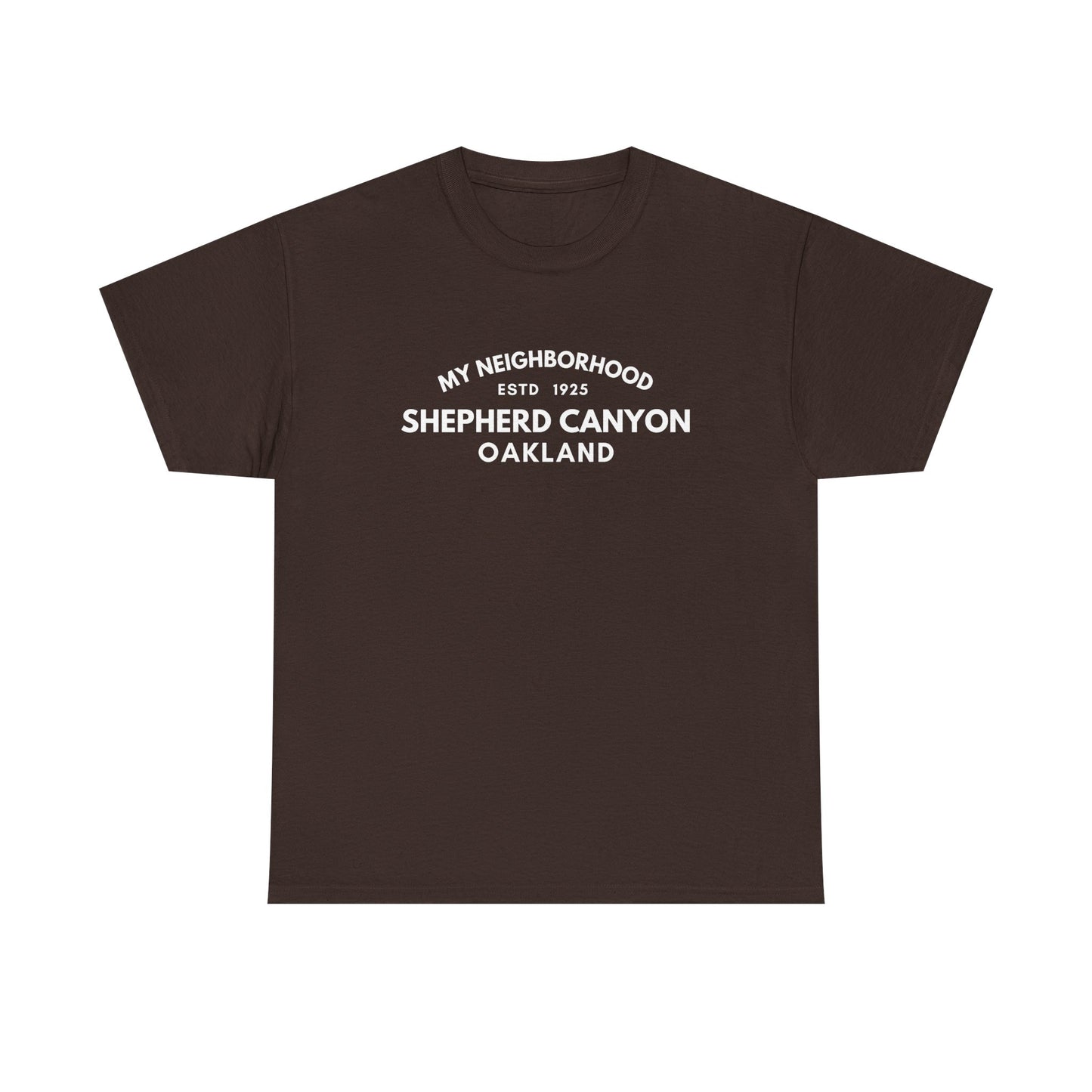
Shepherd Canyon - Oakland - Unisex Cotton Tee
Couldn't load pickup availability
Shepherd Canyon is named for Shepherd Creek, which carved the canyon where homes were built from around 1925 after the Sacramento Northern Railway opened its hillside line. The old rail route is now a trail, and Shepherd Canyon Park keeps the creek at the neighborhood’s heart.
Share