Skip to product information
1 of 27

Local Landmarks & Heritage

  • Skyline Boulevard
  • Redwood Regional Park
  • East Bay Skyline National Recreation Trail
  • East Bay Regional Parks District
  • National Park Service
  • Oakland Hills

Neighborhood History

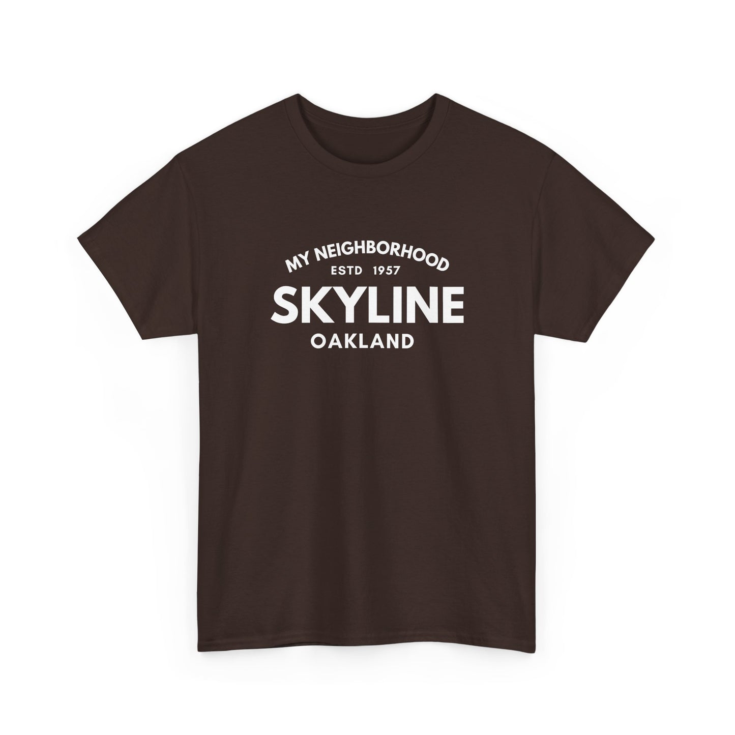
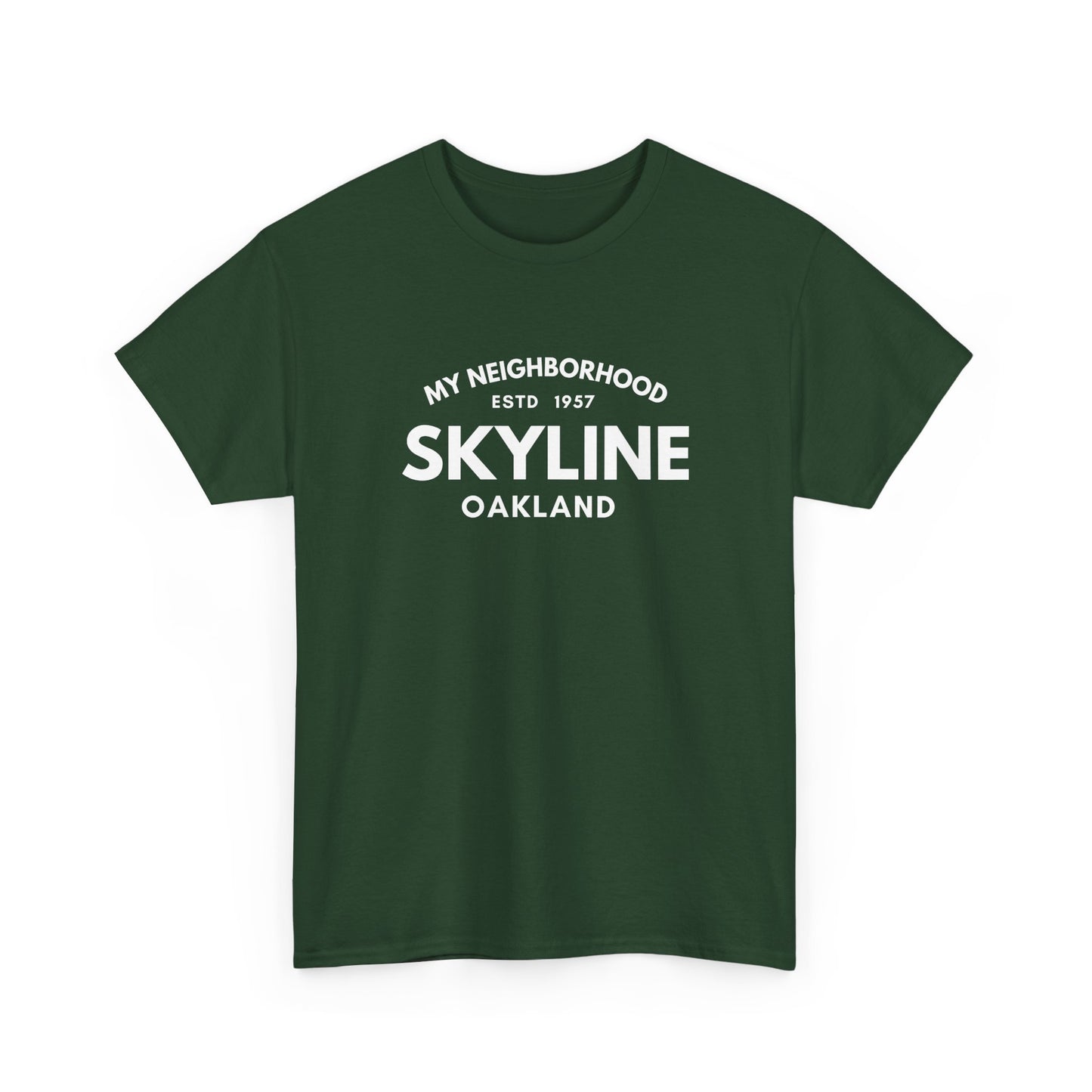
Skyline is an upper Oakland hills neighborhood aptly named for its position along Skyline Boulevard — the ridge road that runs along the crest of the Oakland hills, offering continuous panoramic views from San Francisco Bay to the Diablo Range. Development of the residential streets branching from Skyline Boulevard accelerated after 1957 as the postwar demand for hillside homes pushed residential construction to the uppermost ridgelines of the East Bay hills. The neighborhood's mid-century homes sit at Oakland's highest residential elevations, their residents enjoying the combination of natural grandeur and city proximity that defines life on the Skyline corridor. Redwood Regional Park — managed by the East Bay Regional Parks District, protecting over 1,830 acres of second-growth redwood forest — is directly accessible from the Skyline Boulevard trailheads, making it one of the defining amenities of daily life in the Skyline neighborhood. The East Bay Skyline National Recreation Trail, maintained jointly by EBRPD and the National Park Service, runs along the ridge connecting Skyline residents to the broader regional trail network. That combination of ridge-top elevation, redwood park access, and the singular quality of living at the top of Oakland is the spirit behind the MY-NHD Skyline collection.

MY-NHD

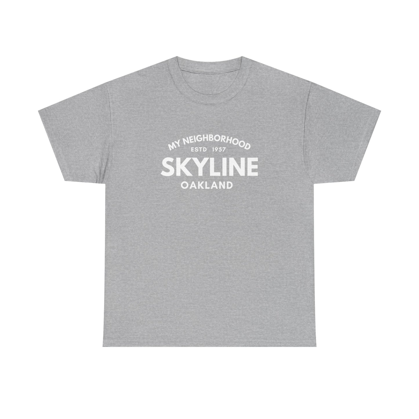
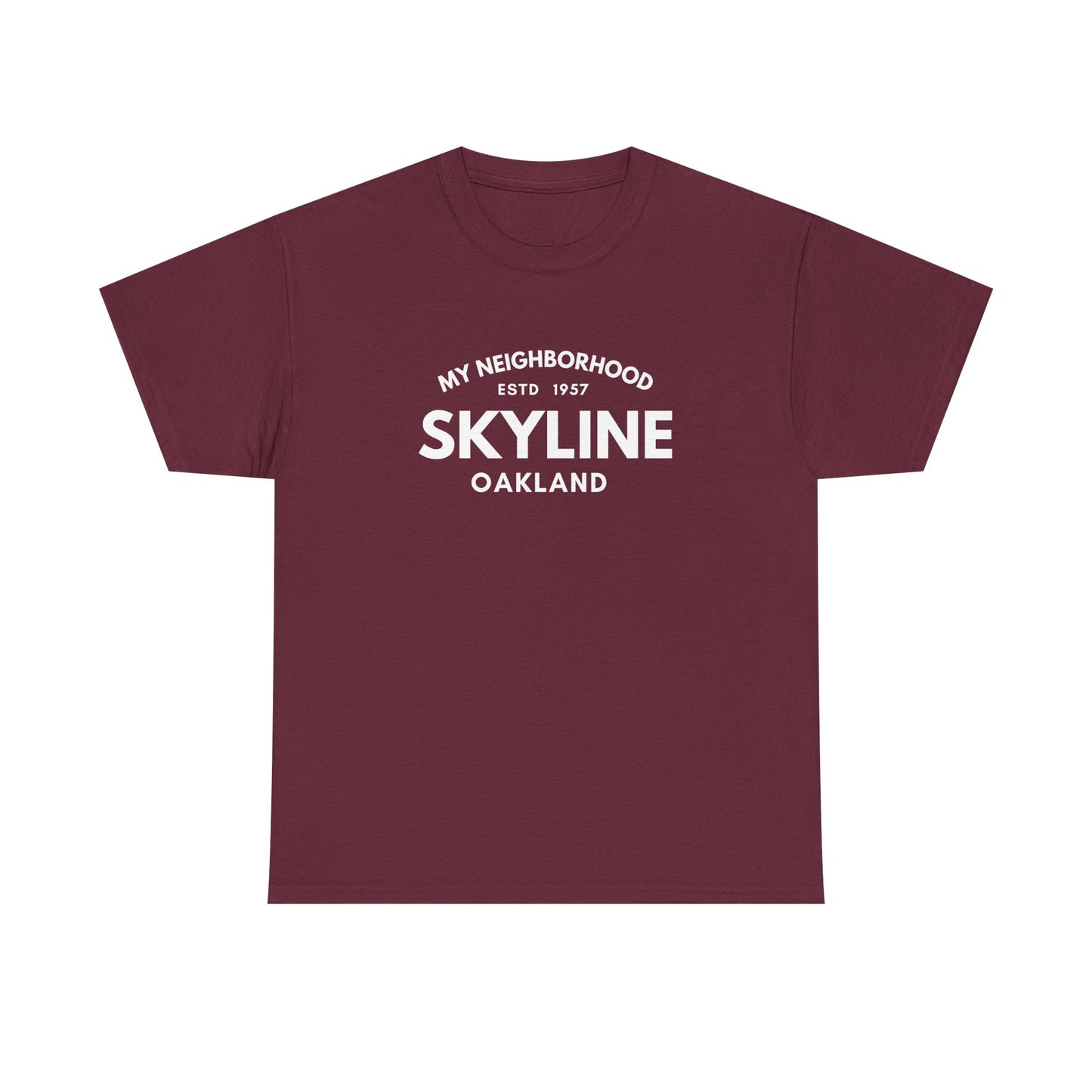
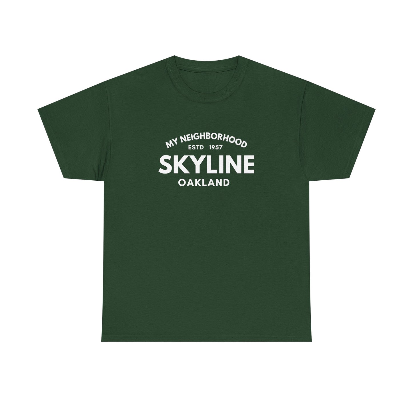
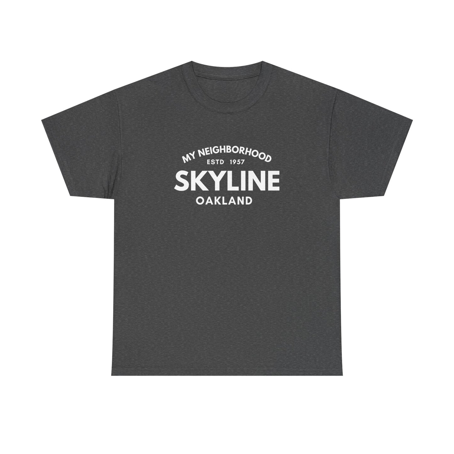
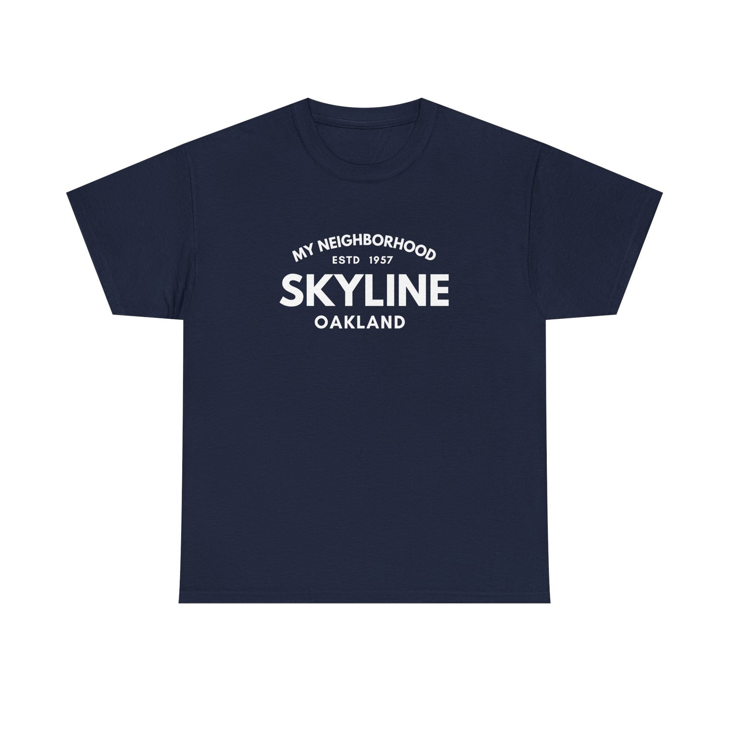
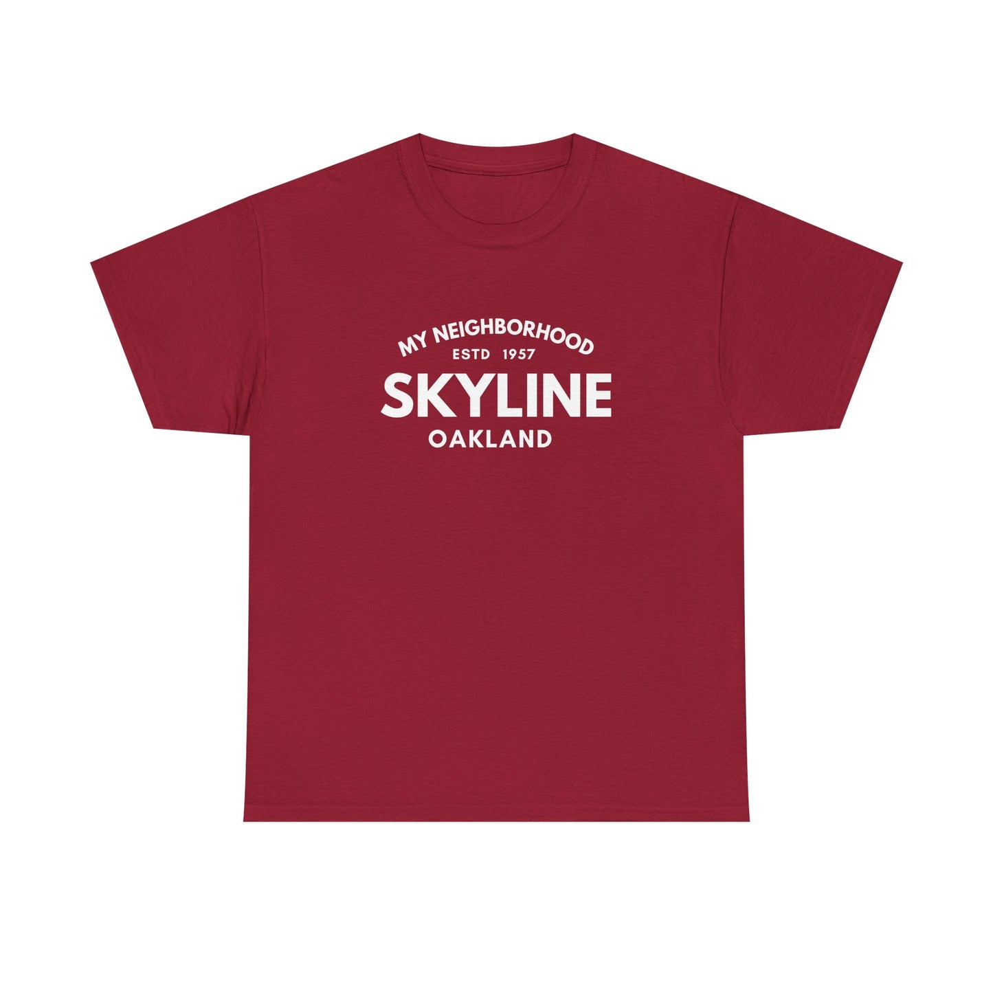
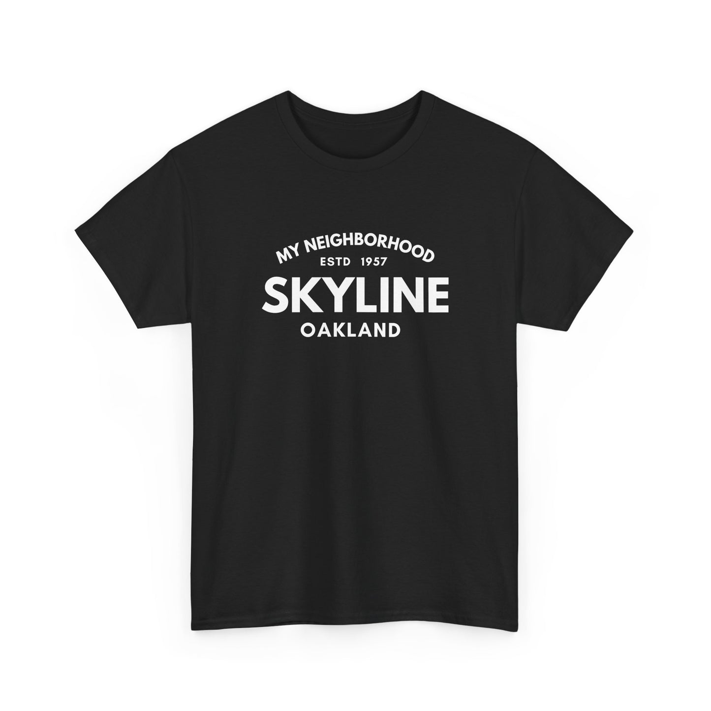
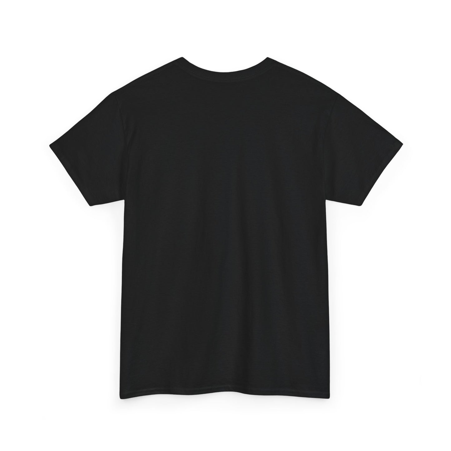
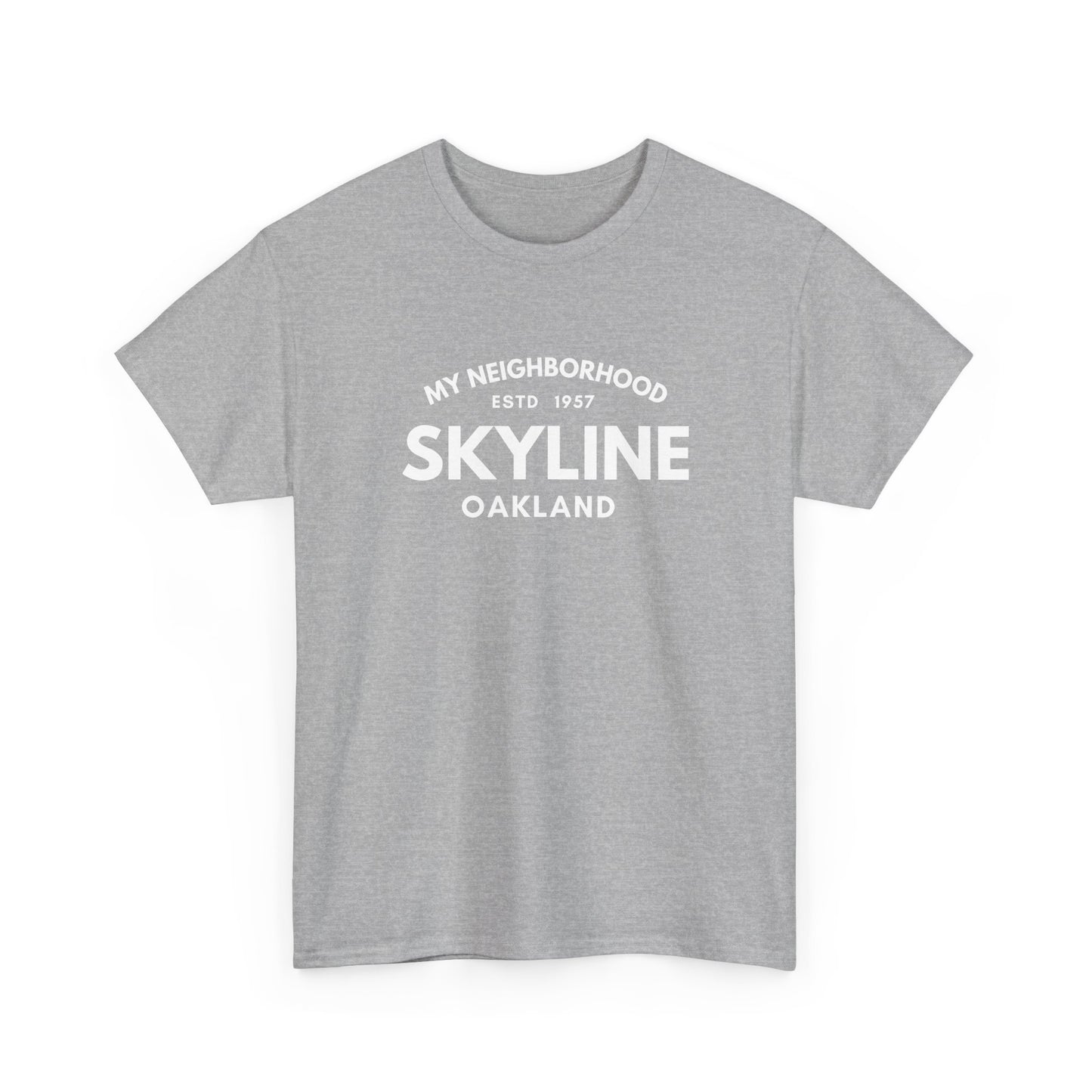
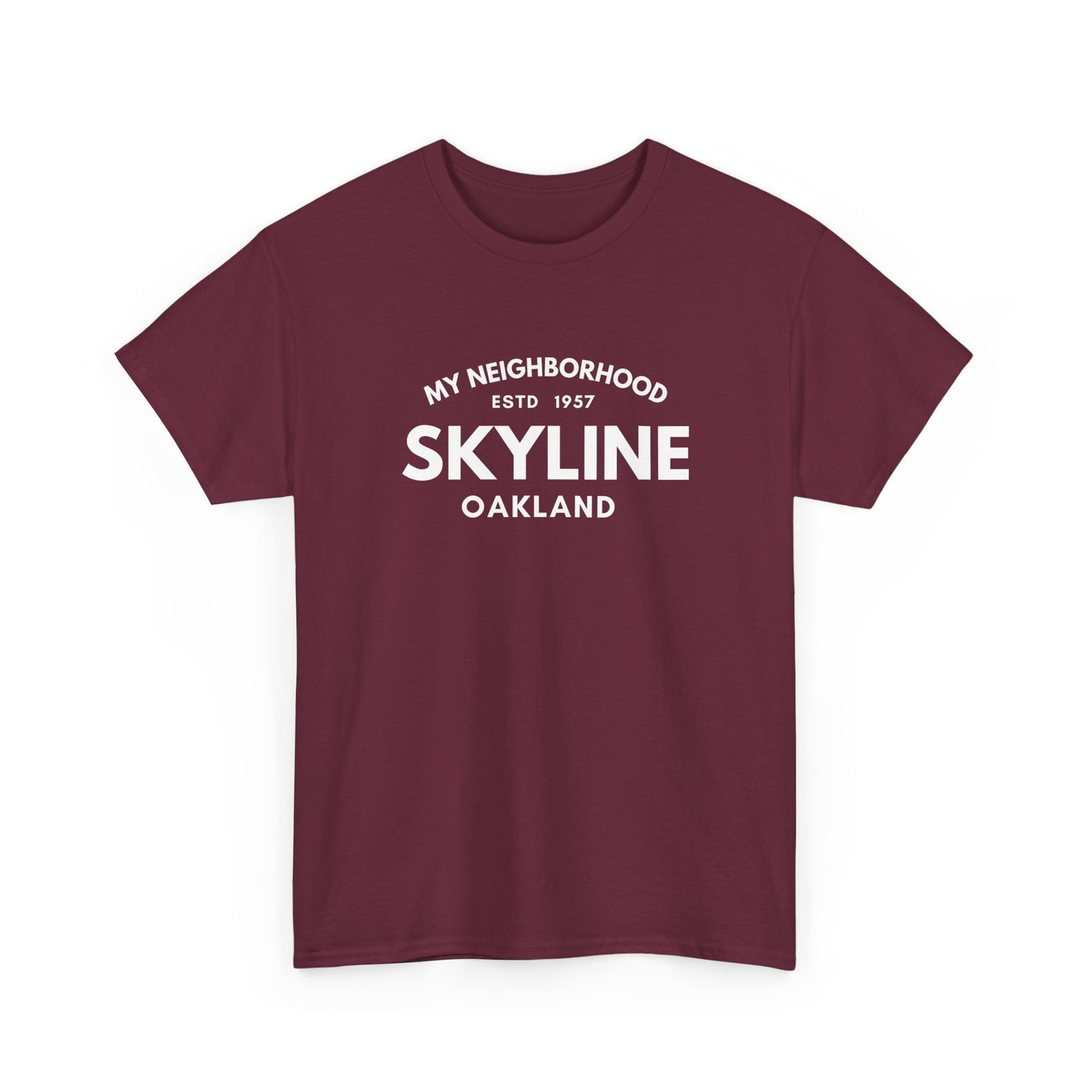
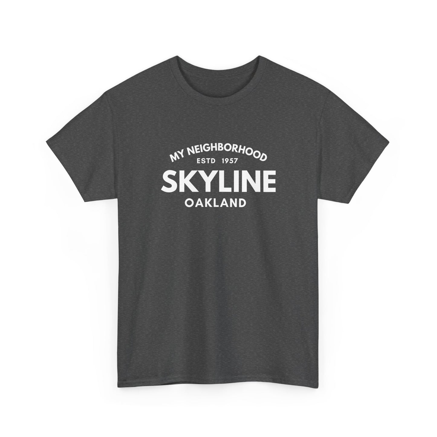
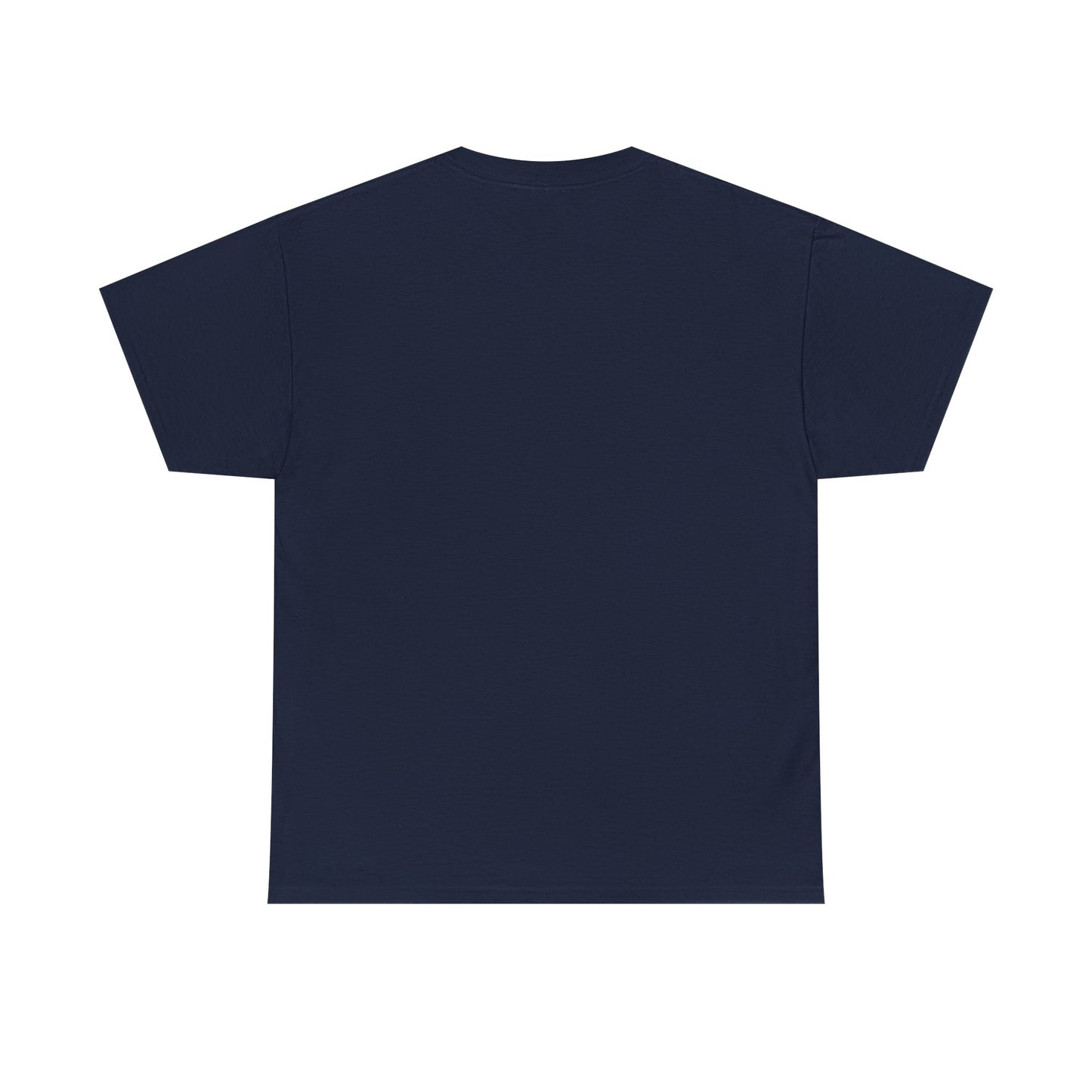
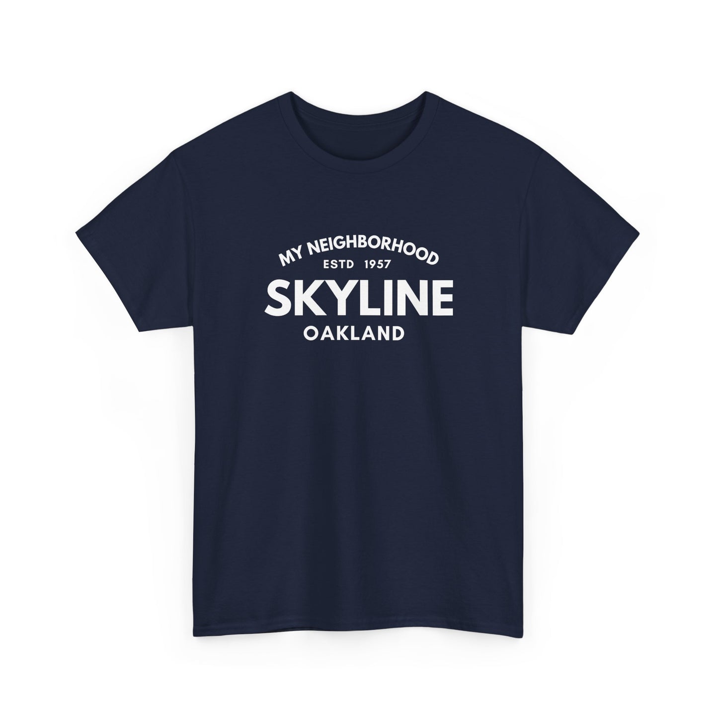
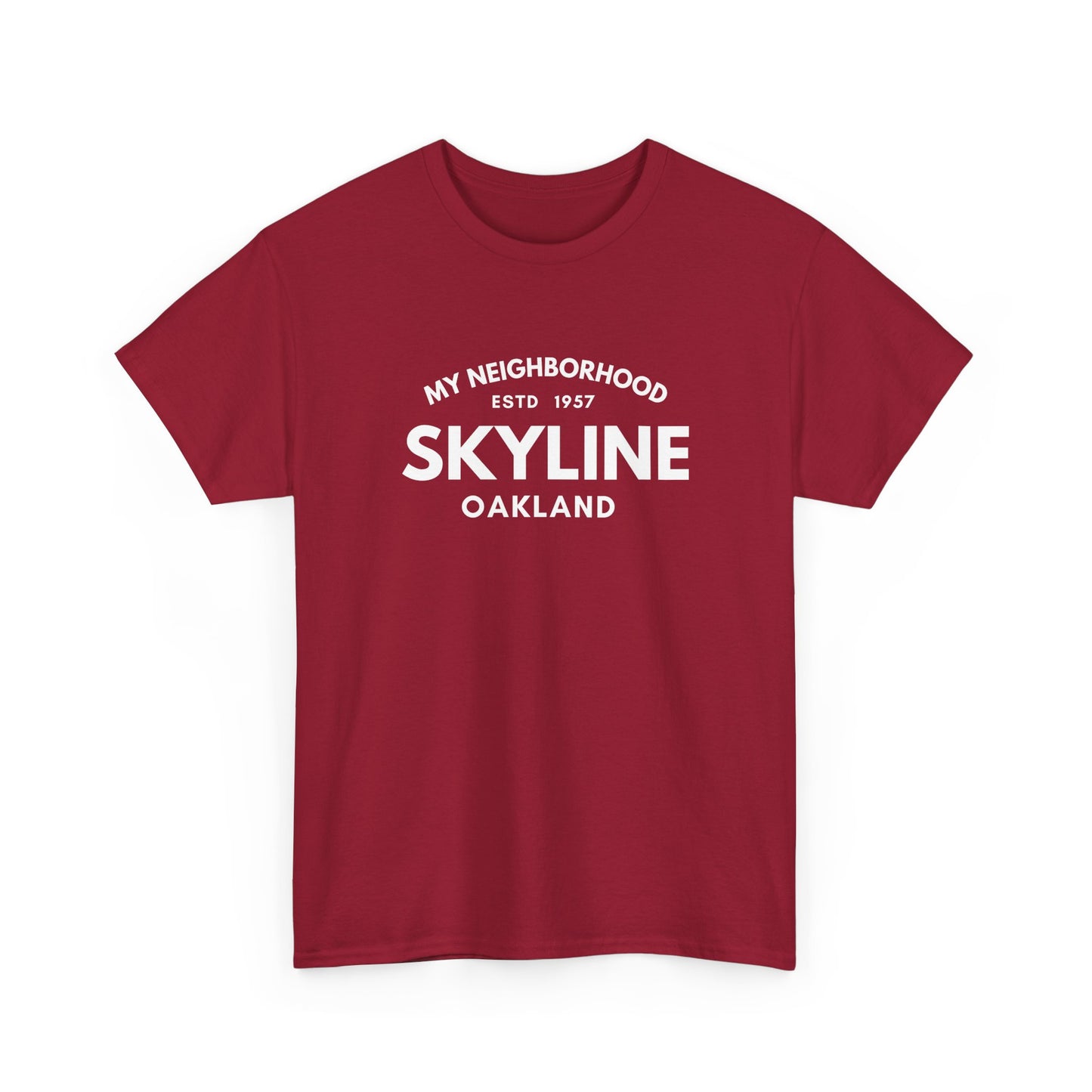
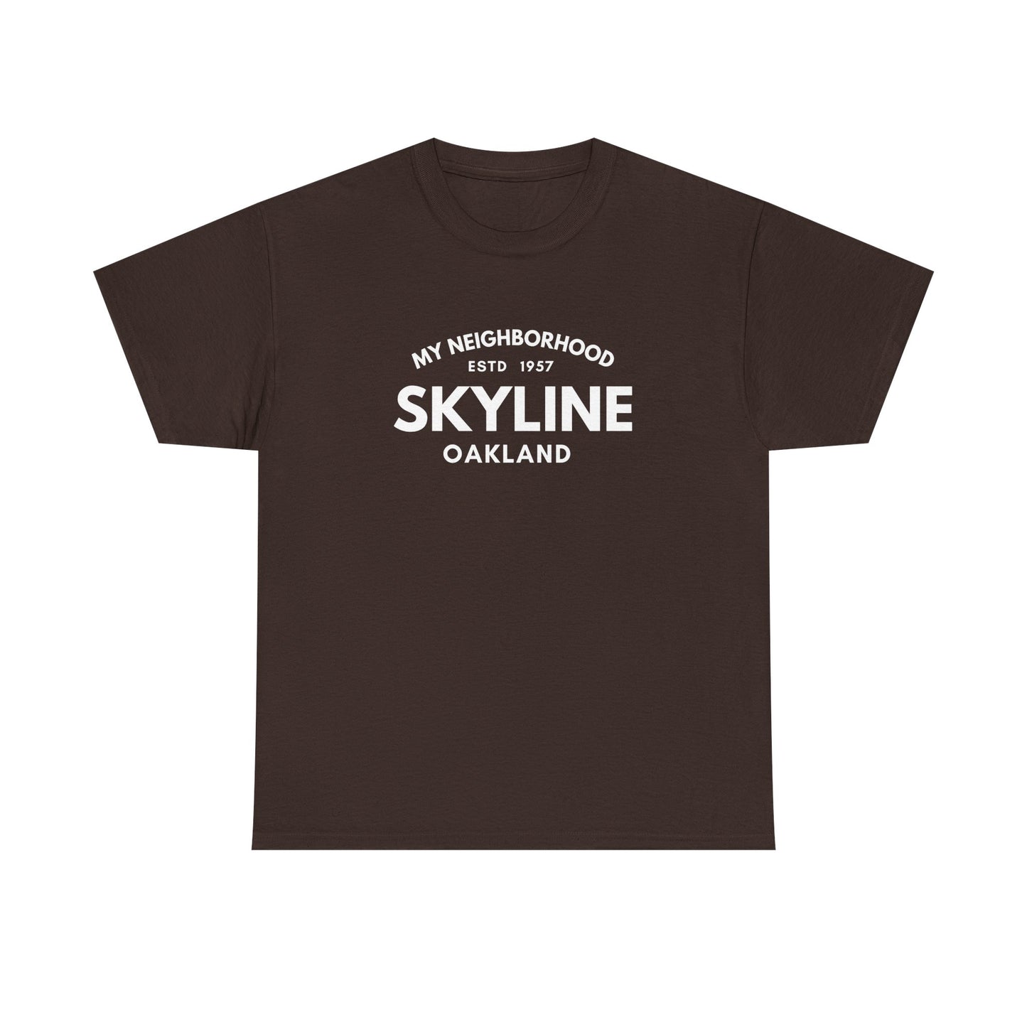
Skyline - Oakland - Unisex Cotton Tee

Skyline - Oakland - Unisex Cotton Tee

Regular price $29.95 CAD
Regular price Sale price $29.95 CAD
Sale Sold out

Skyline is named for Skyline Boulevard, the road along the crest of the Oakland hills, where home building climbed to the highest ridgelines after 1957. Trailheads off the boulevard lead into Redwood Regional Park and onto the East Bay Skyline National Recreation Trail.
View full details